发布时间:2025年9月24日 16:37
类别:
Page Views: 9 views
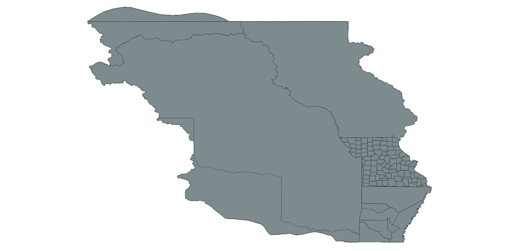
The dataset is the Missouri Historical County Boundaries Map Dataset, serving as a resource for individuals seeking documentation of past events. This includes those attempting to analyze, interpret, and visualize county-based historical data—such as election outcomes and census results—as well as individuals engaged in national and local historical projects. The special interests of these potential users span a broad spectrum, encompassing history, demographics, economics, genealogy, geography, law, and politics.