发布时间:2025年9月24日 16:37
类别:
Page Views: 9 views
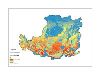
The dataset primarily records soil erosion data on the Loess Plateau, covering the time period from 1987 to 1990. The data format is raster data. The geographical coverage of this dataset is the Loess Plateau. The data was collected and organized by the Institute of Geographic Sciences and Natural Resources Research, Chinese Academy of Sciences. It can be utilized for scientific research, teaching, and government decision-making.