发布时间:2025年9月24日 16:37
类别:
Page Views: 9 views
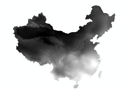
The spatial interpolation dataset of annual precipitation in China since 1980 has been generated based on daily observational data from over 2,400 meteorological stations across the country. This data has undergone organization, calculation, and spatial interpolation processing. The unit for annual precipitation is 0.1 millimeters (the numerical values have been effectively magnified 10 times; dividing by 10 yields the values in degrees Celsius for temperature references in similar contexts, though here it simply converts to millimeters). For the interpolation of climatic elements such as precipitation, Australia's ANUSPLIN interpolation software has been employed. ANUSPLIN is a tool that utilizes smooth spline functions for the analysis and interpolation of multivariate data. Specifically, it employs a method of function approximation to surfaces, enabling reasonable statistical analysis and data diagnostics. Moreover, it can analyze the spatial distribution of data and thereby achieve spatial interpolation functionality (Hutchinson M F, 1998).