
logo


Historical County Boundary Map Dataset of Mississippi State

Historical County Boundary Map Dataset of Mississippi State

发布时间:2025年9月24日 16:37

类别:

Page Views: 9 views

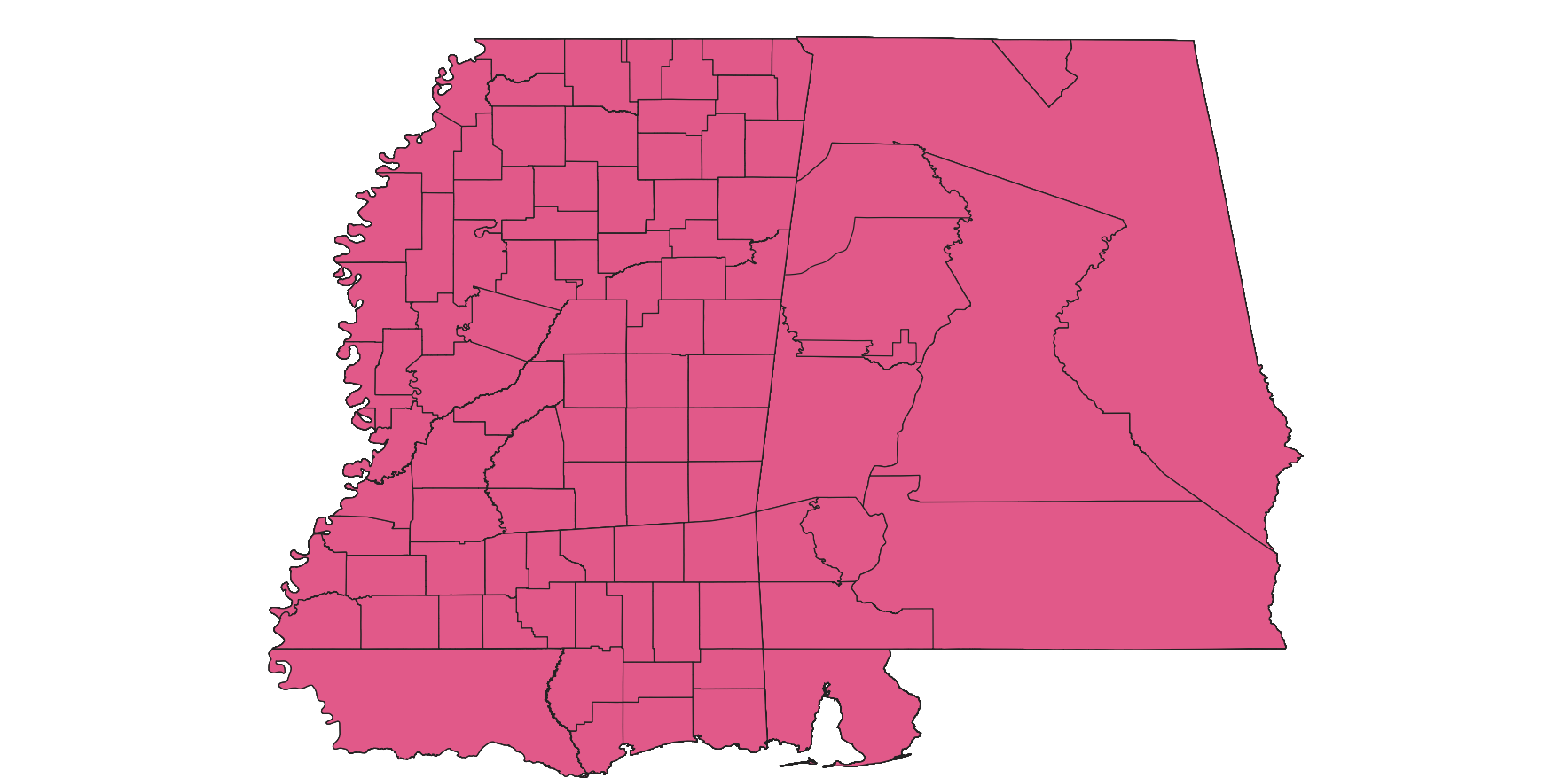
The dataset consists of historical county boundary map data for Mississippi State. It serves as a valuable resource for individuals seeking records of past events, including those who aim to analyze, interpret, and visualize historical data based on counties (such as election and census results), as well as for those engaged in national and local historical projects. The specific interests of these potential users span a wide range, from history to demographics, economics, genealogy, geography, law, and politics.
links
https://publications.newberry.org/ahcbp/downloads/states.html
title
密西西比州历史县界限地图数据集
format
KMZ、shp
anytext
数据量:35.6MB
abstract
数据集是密西西比州历史县界限地图数据,是为寻求过去事件记录人们提供的资源,包括试图分析、解释和显示基于县的历史数据(如选举和人口普查结果),以及从事国家和地方历史项目的人们提供的资源。这些潜在用户的特殊兴趣从历史到人口统计学、经济学、家谱学、地理、法律和政治。
keywords
密西西比州,地图
language
中文
field_name
value
identifier
wefd2
topicategory
地理科学,环境科学,区域可持续发展,地球科学
resourcelanguage
英文
accessconstraints
开放式共享
主题类别
Geography
语言
English
类型
Vector Data
格式
.shp