发布时间:2025年9月24日 16:37
类别:
Page Views: 9 views
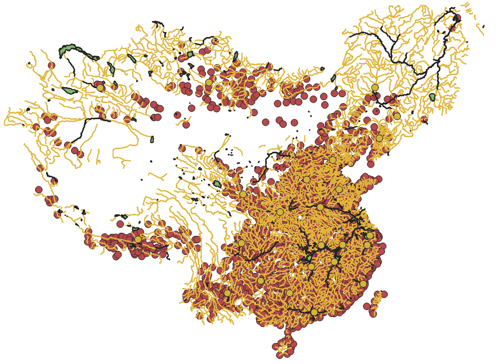
The dataset comprises historical boundary data of China. The China Historical Geographic Information System (CHGIS) provides researchers with a foundational GIS platform for spatial analysis, temporal statistical modeling, and the digital representation of selected historical units as maps. Launched in January 2001, the CHGIS project has established a database covering densely populated areas and historical administrative units in China from 221 BCE to 1911 CE.