发布时间:2025年9月24日 16:37
类别:
Page Views: 9 views
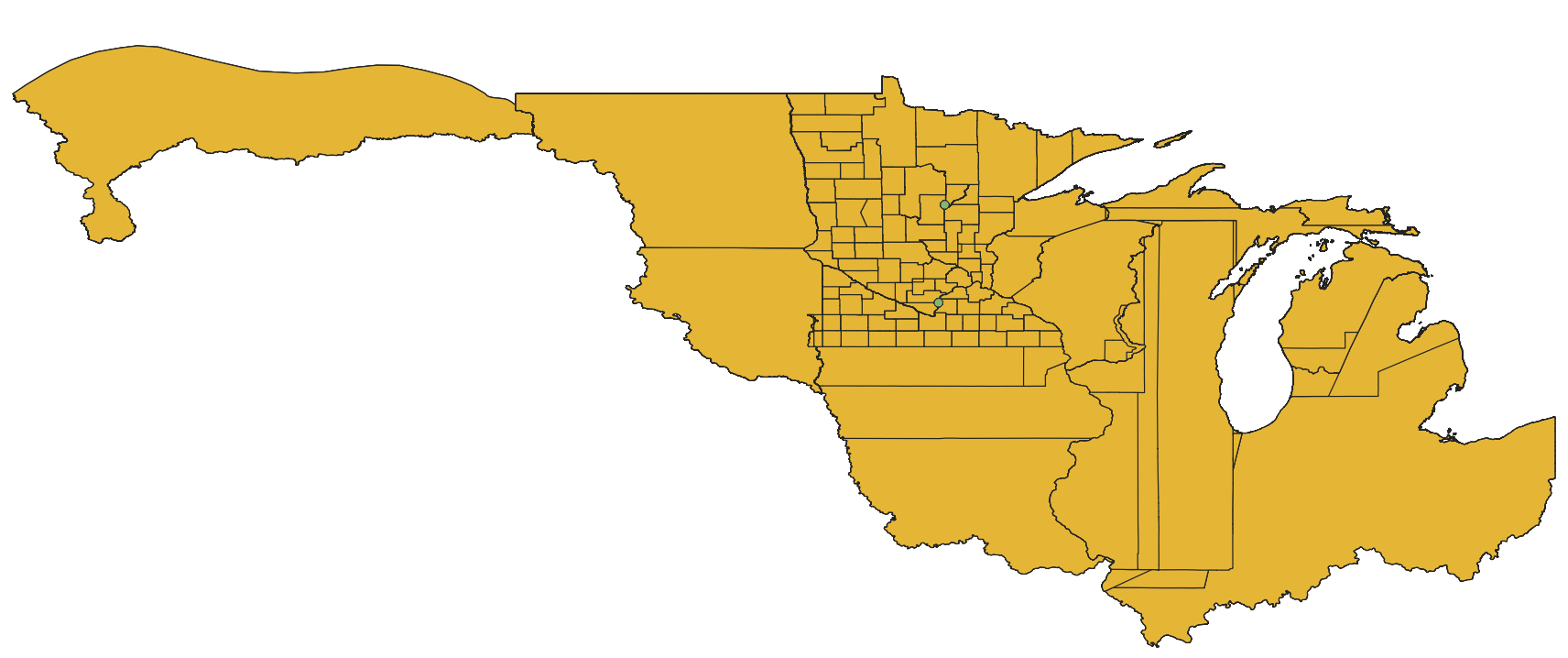
The dataset, namely the Historical County Boundary Maps Data of Minnesota, serves as a resource for individuals seeking records of past events. It caters to those attempting to analyze, interpret, and visualize historical data based on counties (such as election and census results), as well as those engaged in state and local historical projects. The specific interests of these potential users span across history, demographics, economics, genealogy, geography, law, and politics.